Love City Car Ferries, Inc.
Home
About Us
Schedule
Rates & Fares
Book
FAQ
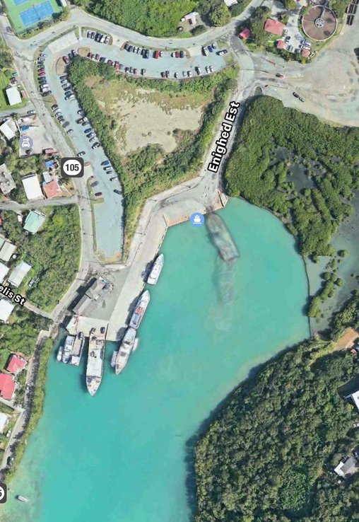
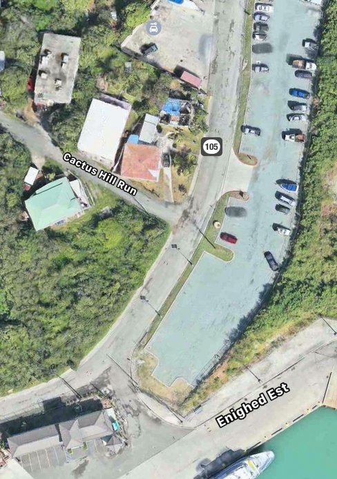
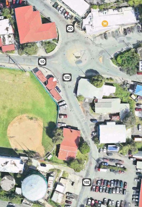
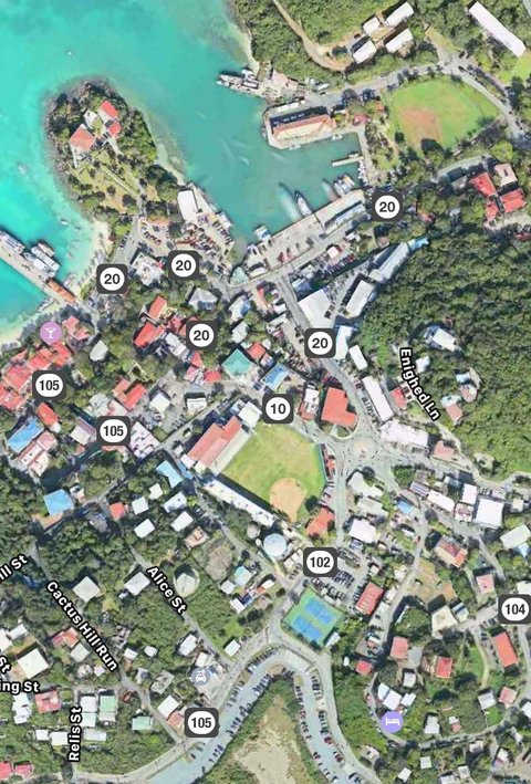
Find the Docks
Contact Us
Blog
Home
About Us
Schedule
Rates & Fares
Book
FAQ
Find the Docks
Contact Us
Blog